
Dong Thap Reviews Provincial Master Plan Adjustments, Adds Key Transport Corridors
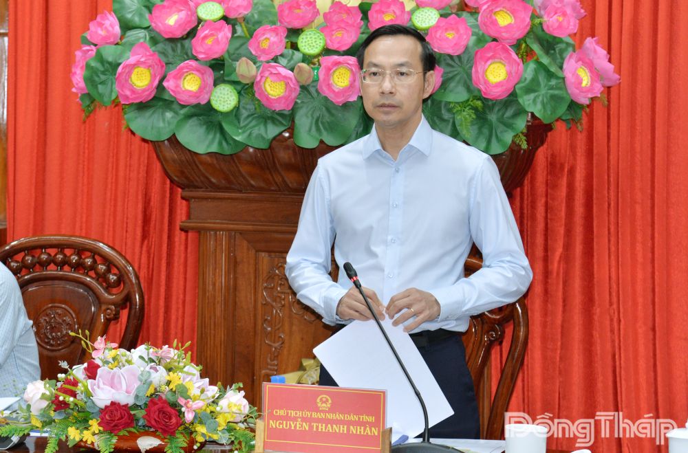
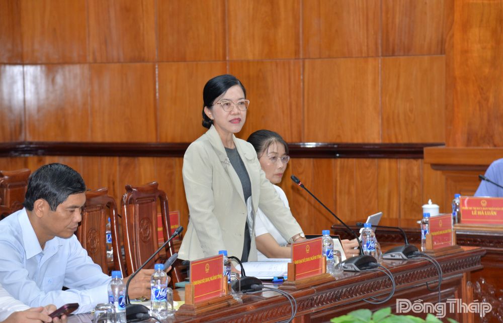
(DTO) On the morning of November 12, Dong Thap Provincial People’s Committee Chairman Nguyen Thanh Nhan and Vice Chairmen Nguyen Thanh Dieu, Nguyen Phuoc Thien and Le Ha Luan chaired a meeting of the Steering Committee for the adjustment of the Dong Thap Provincial Master Plan for the 2021–2030 period, with a vision to 2050. The meeting was connected online to commune- and ward-level venues across the province.
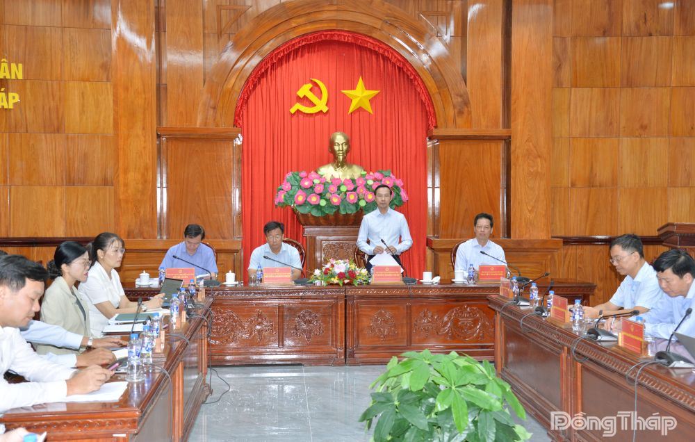
At the meeting, leaders of the Department of Finance presented a summary of the draft decision on adjustments to the provincial master plan, as well as the process, procedures and implementation schedule for revising the plan for the 2021–2030 period, with a vision to 2050.
Under the draft adjustments, the province’s urbanization target for 2030 would be revised from approximately 50% to around 45%. Regarding industrial parks (IPs), the locations of those in the Tan Phuoc industrial zone would be reorganized, with a focus on clustering them along both sides of Provincial Road 878, which directly connects to the Than Cuu Nghia interchange. The locations of several IPs would be rearranged, while others would be consolidated and renamed. Following the reorganization, the number of IPs would decrease from 35 to 34, while the total planned IP land area would remain unchanged at more than 8,626 ha.
Regarding industrial clusters (ICs), three clusters in the Tan Phuoc industrial zone would be removed from the plan, with their land reserves prioritized for urban development, services, social housing and concentrated resettlement areas. The total number of ICs would decrease from 66 to 63, with a combined area of more than 3,644 ha.
In the national highway network, National Highway 30B and National Highway 50B would be removed from the planning list, as the Ministry of Construction has transferred their management to local authorities.
Regarding provincial roads and key connecting corridors, the plan proposes adjusting Provincial Road DT.846, from its intersection with National Highway 30 in Phong My Commune to the Tay Ninh provincial boundary in Hung Thanh Commune. It also proposes adding a connecting road to the expressway, running from Provincial Road DT.878 to the Than Cuu Nghia interchange; adding the approximately 9.2-km Hung Vuong Boulevard corridor, from the Than Cuu Nghia interchange to the National Highway 50 intersection, to the list of urban roads; adjusting Provincial Road DT.871B, from its starting point adjacent to Gia Thuan 1 Industrial Cluster in Gia Thuan Commune to its intersection with National Highway 50 in Son Qui Ward; and adding the approximately 42.5-km My Tho–Go Cong provincial road.
The draft also proposes adding the approximately 17-km Sa Dec–My Thuan provincial road, from its intersection with the National Highway 80 bypass (Cai Co roundabout) in Tan Duong Commune to the Vinh Long provincial boundary in Phu Huu Commune.
Another proposed addition is the Ho Chi Minh City–Tay Ninh–Dong Thap urban transport corridor, with a section of approximately 14 km running through Dong Thap Province along the former planned route of National Highway 50B, from the Tay Ninh boundary in My Tinh An Commune to the Hung Vuong Square roundabout.
The plan would also adjust Provincial Road DT.878, from its intersection with DT.870B in Long Hung Commune to the Tay Ninh provincial boundary in Tan Phuoc 1 Commune.
In addition, the planned capacity of Tan My Port in My An Hung Commune and Cao Lanh III Port in Binh Hang Trung Commune—both situated on the Tien River—would each be increased to 1 million tonnes per year. Two new Tien River ports would be added to the plan: An Long Port in An Long Commune and Binh Thanh Port in Binh Thanh Commune, each with an annual capacity of 50,000 tonnes. The planning for Go Cong General Port would also be adjusted.
Other proposed revisions cover rice-cultivation land-use targets; agricultural infrastructure; waste treatment, the environment and minerals; and the culture, sports and tourism sectors.
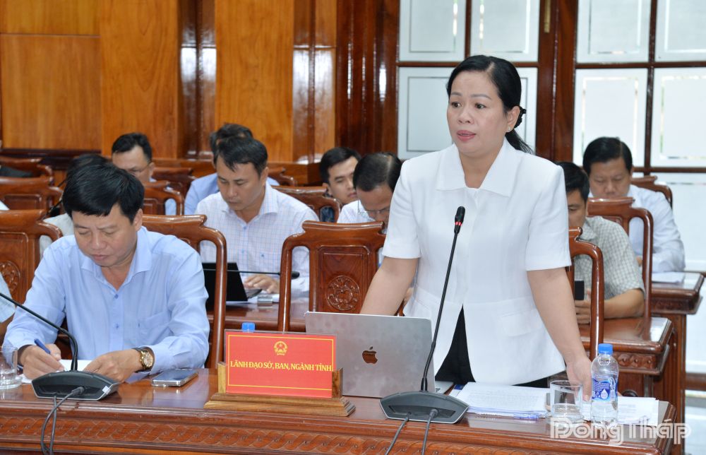
Members of the Steering Committee, representatives of provincial departments and agencies, and local authorities also discussed and provided feedback on the draft decision to adjust the Dong Thap Provincial Master Plan for the 2021–2030 period, with a vision to 2050.
In his concluding remarks, Chairman Nguyen Thanh Nhan asked the Department of Finance and relevant units to ensure that the adjustment of the provincial master plan strictly follows the applicable conditions, sequence and procedures under the streamlined process.
He identified the addition of key transport corridors to drive socio-economic development as one of the central elements of the planning adjustments. The main proposal is to establish a key transport corridor connecting Cao Lanh with the Go Cong coastal area.
Based on this orientation, provincial departments, agencies and the consulting unit were asked to conduct a comprehensive review of the development space, the locations of functional zones and their connectivity with major transport routes.
In particular, they must clarify the scale and review the arrangement of industrial clusters along transport corridors to establish an integrated connectivity network, facilitate investment attraction and make effective use of land reserves. The scale and locations of river and seaports must also be reviewed, with port planning aligned with the development of integrated urban areas, residential zones, industrial parks and other related functional areas.
For centralized waste treatment zones, the province should study plans for sites of at least 50 ha each, developing integrated treatment complexes capable of receiving and processing various types of waste. These complexes could accommodate recycling plants, treatment units, waste-to-energy projects and other environmental industry infrastructure.
Regarding the Tien River landscape and architectural corridor, the province needs to study and clearly define spatial development plans along both riverbanks, ensuring a balance between economic and urban development, ecological environmental protection and measures to prevent and control riverbank erosion.
For land-use targets, particularly those for rice-cultivation land, the relevant units must review and compare actual conditions with the land-use quotas assigned by the central government, identify specific differences and use them as a basis for proposing adjustments.
The Department of Finance was tasked with coordinating with the consulting unit to incorporate feedback, review and update the draft provincial master plan adjustments to ensure they meet development requirements in the coming period.
By MINH THANH
Translated by X.QUANG